Drone Mapping and Photogrammetry Services in Bonita Springs, Florida
Drone One offers professional drone mapping and photogrammetry services in Bonita Springs, Florida and surrounding communities such as Estero, Immokalee, Sanibel Island, Naples and Marco Island, as well as Fort Myers, Cape Coral, Punta Gorda, Port Charlotte, North Port, Venice, and Sarasota to the north.
Along with mapping and photogrammetry services, Drone One also offer a full suite of professional drone services including:
Mapping and Photogrammetry
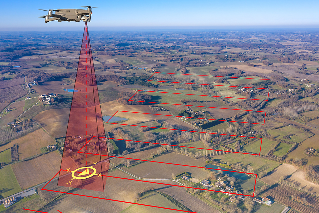
Drone One uses state of the art hardware and software tools to capture, process and produce stunningly accurate and actionable 2D and 3D representations to assist industries such as construction, agriculture, public safety and telecoms. Depending on your industry and specific requirements, Drone One can deliver various photogrammetric outputs such as 2D maps, digital surface models, digital terrain models, radiometric/multispectral maps, and more.
- Agriculture Crop Assessment
- Land Mapping and Surveying
- Cell Tower Modeling
- Construction Volumetric Modeling

